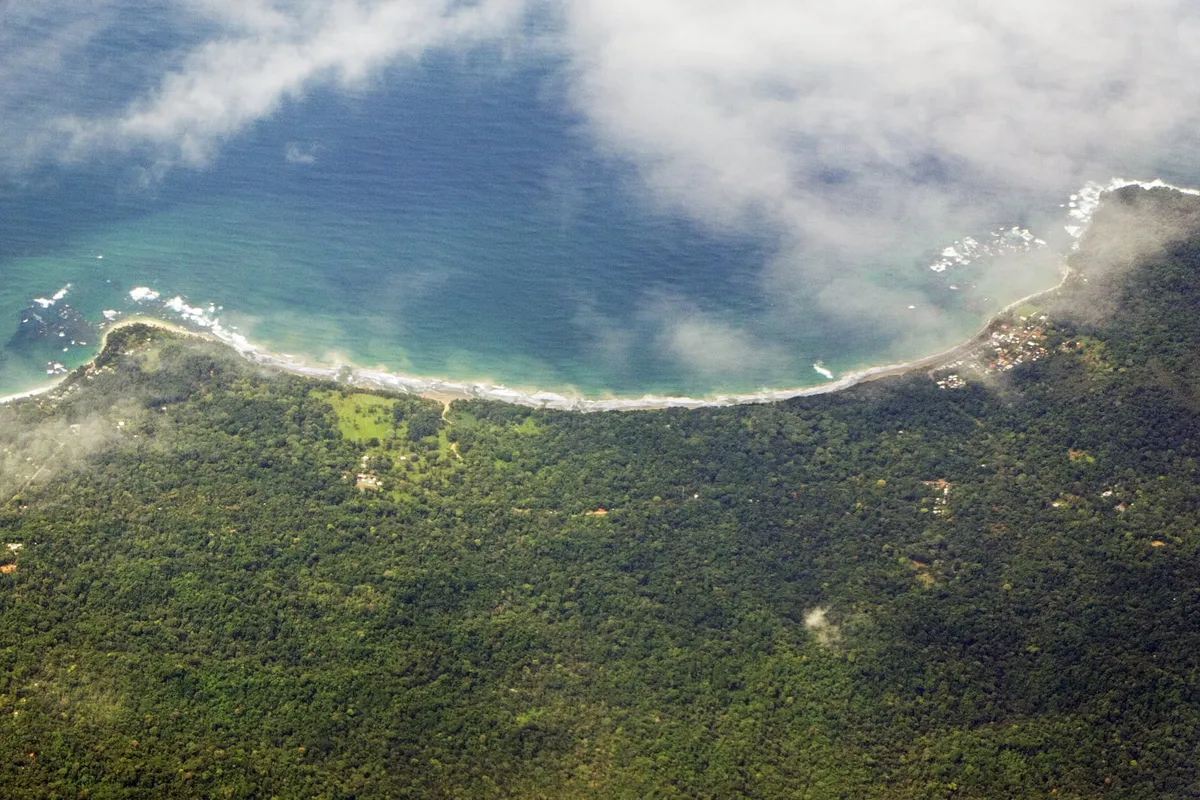
In February 2009, Costa Rica’s Constitutional Chamber struck down a law that had let residents of Cahuita and Puerto Viejo title private property inside the country’s maritime zone. A plano catastrado (the registered survey plan behind a piece of land) can trace its authority back to exactly that kind of law. On this coast, checking one is not a formality.
What a plano catastrado shows
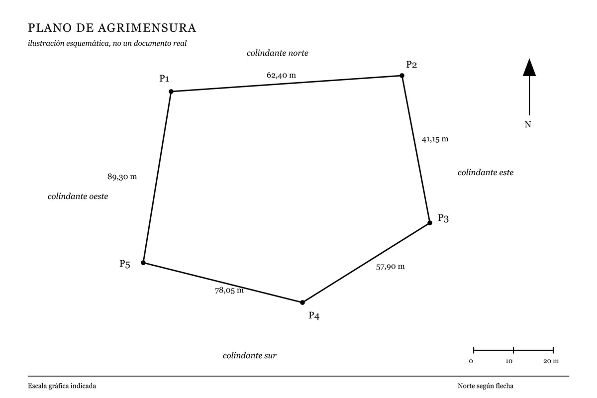
A plano catastrado is a survey plan that has been examined and registered by the Catastro Nacional, the cadastral branch of the Registro Inmobiliario at the Registro Nacional. Prepared and signed by a licensed surveyor, it fixes a property’s location, boundaries and area in graphic and numeric form. It is not the title itself (the escritura). It is the technical description the title relies on: the shape and size a buyer is actually paying for.
The plan is only as good as three things behind it: whether it matches the current registration, whether it respects the maritime zone, and what law it was surveyed under. The last question applies to Cahuita and Puerto Viejo specifically.
Check it against the current registration
The Registro Nacional’s own platform, RNPDigital, lets anyone search a property free of charge by cadastral-plan number or by finca (property) number. The search needs an account, opened with an identification or DIMEX number. The result shows the registered owner, the area in square metres, the boundaries and the associated plan. Comparing that record with the seller’s plan and with the escritura takes an afternoon. It catches the most common problem: a plan that was never updated after a later subdivision or a boundary adjustment. A search that returns no cadastral plan at all for the finca is its own answer. The boundaries have never been fixed by survey, whatever the seller’s paperwork says about where the property ends.
Check it against the maritime zone
Costa Rican law treats the 200 metres inland from the mean high-tide line as the maritime-terrestrial zone. The first 50 metres (the public zone) cannot be privately owned under any circumstance. The next 150 metres (the restricted zone) are usually held by the municipality and made available through a concession rather than a title deed. A plano catastrado there is a different kind of document from the one behind titled land: it defines what a concession holder may use, not what they own.
The Catastro Nacional will not register a survey plan that touches the public zone unless the Instituto Geográfico Nacional has first approved the demarcation of that zone on the ground. A surveyor’s seal on a plan is routine. The separate approval from the geographic institute is the part worth asking to see on any property close enough to the water that the two zones could overlap.
The 2005 city law, and why it still matters here
A 1977 law had excluded Cahuita and Puerto Viejo from private titling within the maritime zone. Residents who had lived there for generations were left without clear title to land they occupied. The two towns were declared “ciudades” on 25 October 2005 (Law 8464), a status meant to let that titling proceed inside parts of the zone’s public area.
The Sala Constitucional struck the law down on 25 February 2009 (resolution 2009-003113). The court ruled that the maritime-terrestrial zone is inalienable and imprescriptible national patrimony under articles 6, 50, 121 (subsection 14) and 33 of the Constitution. It also held that Law 8464 had improperly authorized private titling inside it.
A plano catastrado for a property in either town that rests on titling from that period is not as solid as its registration stamp suggests. The question to put to a seller there is when, and under what title, the land was first surveyed, and whether that title survived the 2009 ruling. A Costa Rican attorney who works this coast can trace a specific plan back through the registry before an offer turns the answer into the buyer’s problem.